| Landkarten Naher Osten | Antiquariat Johannes Müller |
|
|
|
| Israel - Palästina |
|
Leichter Lichtrand, kl. hinterlegte Randläsuren. # Original woodcut of Heinrich Bunting s map of Palestine.- The map extends from Gaza and Moab in the south to Sidon and Lebanon in the north, tracking the Jordan River in the east. (Holy Land, Palestine) |
|
| Bestellnummer:L2541 | EUR 220,00 / Bestellen |
| Israel - Palästina |
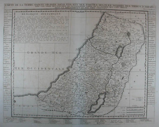 Carte de la Terre Sainte Divisée dans toutes ses Parties Selon Le Nombre Des Tribus D Israel ... Kupferstich-Karte aus Chatelain "Atlas Historique" Amsterdam 1719, 38,5 x 49 cm
Laor 213.- Detailed map of the Holy Land, from Chatelain s Monumental Atlas Historique et Methodique.- The map extends from Gaza to Sidon and identifies the 12 Tribes and many other historical features. # Copper engraving (Holy Land, Palestine) |
|
| Bestellnummer:L1510 | EUR 200,00 / Bestellen |
| Israel - Palästina |
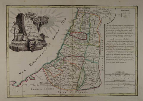 Carte Des Douze Tribus DíIsrael, Par M. Bonne Ing. Hidrograph du Roi au dépot des Plans et Journaux de la Marine. Grenzkolorierte Kupferstich-Karte n. Rigobert Bonne aus "Atlas Moderne ou Collection de Cartes sur Toutes les Parties du Globe Terrestre". Paris, Jean Lattré um 1780, 31 x 44 cm
# Decorative engraved map with original outline hand-colouring, wide margins, slightly brownspotted.- (Holy Land, Palestine) |
|
| Bestellnummer:L1934 | EUR 130,00 / Bestellen |
| Israel - Palästina |
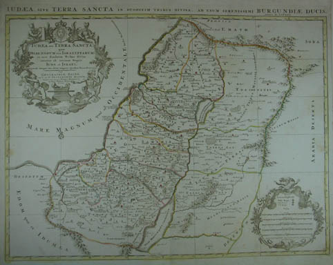 Judaea seu Terra Sancta, quae Hebraeorum sive Israelitarum in suas duodecim Tribus divisa secretis ab invicem Regnis Juda et Israel. Grenzkolorierte Kupferstichk-Karte n. Nicolas Sanson. Amsterdam, Covens & Mortier 1725, 48 x 61,5 cm
Laor 694.- # Copper engraving with original outline color.- Additional title in top margin, "Iudaea, sive Terra Sancta in Duodecim Tribus Divisa, ad Usum Serenissimi Burgundiae Ducis." (Holy Land, Palestine) |
|
| Bestellnummer:L1153 | EUR 360,00 / Bestellen |
| Israel - Palästina |
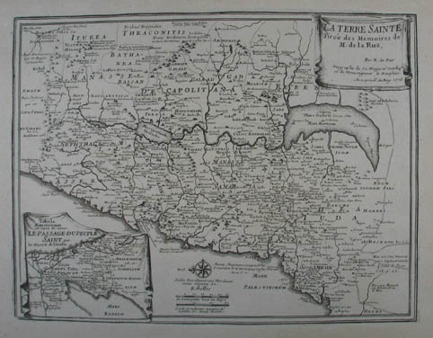 La Terre Sainte. Tiree des Memoires de M. de la Rue. Kupferstich-Karte v. Nicolas de Fer aus "L Atlas Curieux ou le Monde". Paris 1705, 23 x 31 cm
Nicolas de Fer (* 1646; 25. Oktober 1720 in Paris) war einer der führenden französischen Kartographen und Kartenverleger des ausgehenden 17. und beginnenden 18. Jahrhunderts.- # Copper engraving (Holy Land, Palestine) |
|
| Bestellnummer:L1146 | EUR 180,00 / Bestellen |
| Israel - Palästina |
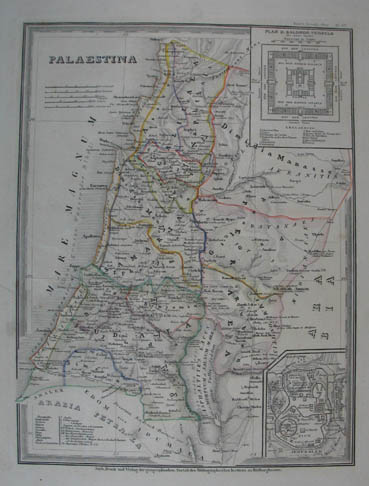 Palaestina. Grenzkolorierte Stahlstich-Karte aus "Meyer`s Zeitungs-Atlas". Hildburghausen, Bibliograph. Institut um 1850, 25 x 18,5 cm
Mit 2 Nebenkarten: Plan des Salomonischen Tempels und einem Plan Jerusalems. (Israel, Golan, Gazastreifen, Westjordanland und Jordanien, Holy Land, Palestine) |
|
| Bestellnummer:L1240 | EUR 34,00 / Bestellen |
| Israel - Palästina |
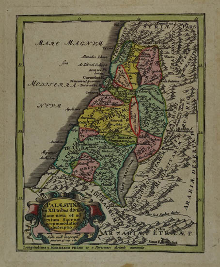 Palaestinae in XII tribus divisae plane nova et ad textum Sacrum accommodatior descriptio. Altkolorierte Kupferstichkarte aus "Atlas portatilis" bei Christoph Weigel in Nürnberg 1739, 18 x 14 cm
Leicht gebräunt, im unteren Rand Braunfleck. # Copper engraving with original colour (Holy Land, Palestine) |
|
| Bestellnummer:L1867 | EUR 100,00 / Bestellen |
| Israel - Palästina |
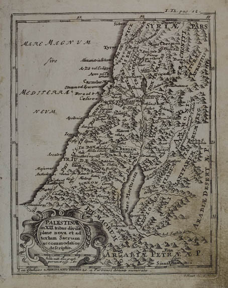 Palaestinae in XII tribus divisae plane nova et ad textum Sacrum accommodatior descriptio. Kupferstich-Karte v. G. Haupt aus Launay "Der Seinen zu erziehen habenden Jungen Cavalier". Augsburg 1738, 17,5 x 14 cm
Rechte untere Ecke fingerfleckig. # Copper engraving (Holy Land, Palestine) |
|
| Bestellnummer:L1853 | EUR 65,00 / Bestellen |
| Palästina |
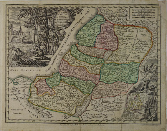 Terra sancta vocata quae olim XII Tribus hoc autem aevo in VI Provinc. distincta est. Altkolorierte Kupferstich - Karte v. Andreas Silbereisen nach Matt. Seutter bei Tob. Conr. Lotter aus "Atlas minor” Augsburg 1780, 20 x 21 cm
2 geklebte Faltungseinrisse, rechts oben ergänzter Eckabriss, leicht gebräunt. # Copper engraving with original colour.- 2 glued folding tears, top right corner supplemmented, slightly browned. (Israel, Palestine, Holy Land) |
|
| Bestellnummer:L1879 | EUR 60,00 / Bestellen |
| Syrien |
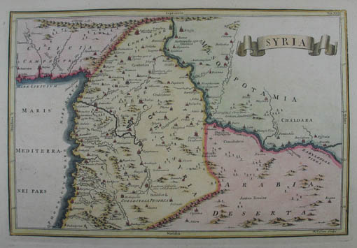 Syria. Altkolorierte Kupferstich-Karte v. WH. Toms aus "Notitiae Orbis Antiqui" um 1730, 20 x 30,5 cm
# Original colour; good copy. |
|
| Bestellnummer:L1144 | EUR 180,00 / Bestellen |
| Johannes Müller | Franz-Josef-Strasse 19 | A-5020 Salzburg | Telefon +43 (0) 664 / 2010925 | e-mail: office@antiquariat-mueller.at |